Do you need a measured building survey? If you are in Brighton or nearby, Brighton Measured Survey offers reliable services to bring your project towards success.
Before getting the said services, let us see first what is there to know about measured building survey.

Everything You Need to Know About Measured Building Surveys
About Measured Building Surveys

What is Measured Building Survey?
It’s a highly accurate and comprehensive survey, carried out on all stages of the building lifecycle. It gives an accurate representation of all structural and architectural features of the building in a form of scaled 2D drawings of floor plans, elevations, sections etc. MBS is used for verification and record purposes.
The highly accurate and precise data gathered from existing structures and buildings like floor plans, elevations, sections of existing videos are converted into a digital version. This can be used by architects to have a better look at the existing condition of the building when modifications or alterations are to be done.
Measured building survey is ideal for the restoration and preservation of historical sites, buildings, and structures. This is also useful when doing redevelopment projects, upgrades or extensions of a property, or when you want detailed information of your property for safety plans.
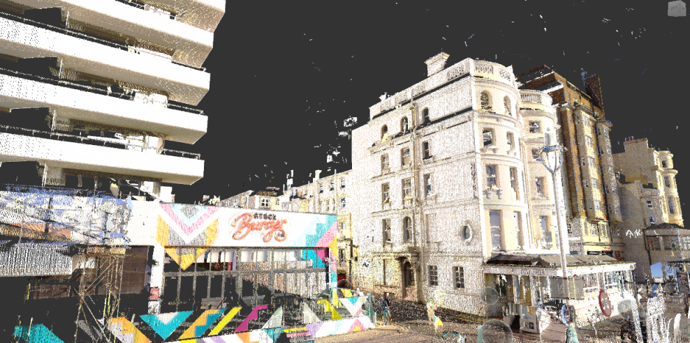
If you are working on a project and need the help of experts, Brighton Measured Survey will convert the collected data into a 3D point cloud and deliver it in as built 2D drawings or 3D BIM models.
The Process
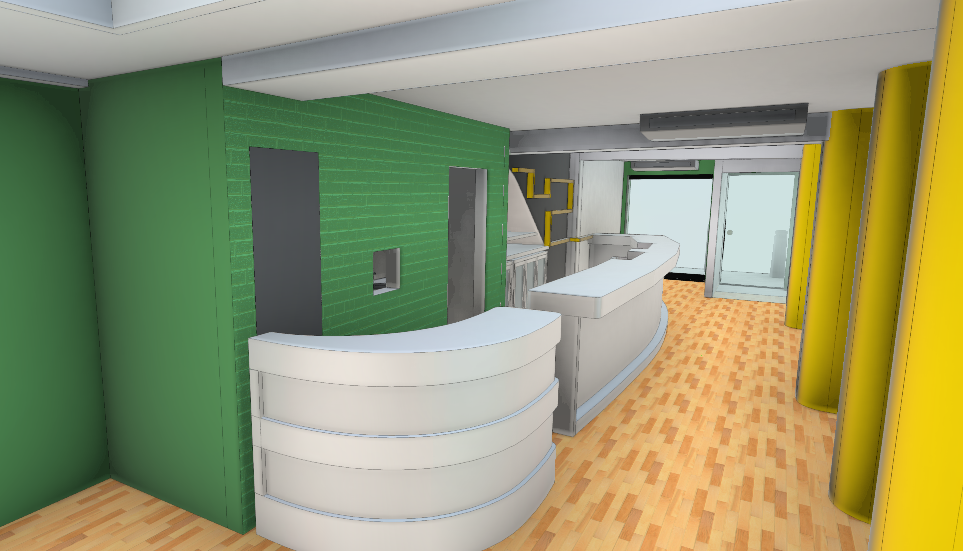
The surveyor has to gather as much information as needed before doing the actual job. Tools such as Google maps and other Global Positioning Systems (GPS) are to be utilised to learn more about the layout of the structure, its surroundings, the orientation, and obstacles.
Being prepared before the actual survey makes the job more comfortable which at the same time, ensures high accuracy.
The surveyor will then survey the building with all required techniques (Terrestrial Laser Scanning, Total Station, GPS RTK, 3D Aerial Mapping, and Photogrammetry) to deliver complex 3D data which is a base to produce highly accurate scaled drawings or 3D models.
When the area to be surveyed is huge, the surveyor conducts the survey in sections. One page is dedicated per section to accommodate enough data. The process goes on until the whole area is completely surveyed.
Typically, the surveyor will start the survey from one corner of the building and continues the survey in a clockwise or counter clockwise direction. Diagonal measurements are also taken to ensure accuracy.
Following the completion of the survey, Brighton Measured Survey will draw up the measured floor plans, sections, elevations, or as built plans using the latest technology.
Survey data can also be instantly accessed through an online portal – Webshare Cloud Service, where the client can view a panorama of each captured on-site scan and perform distance measurements of selected points or check their coordinates.
The surveyor must be an expert in the field since accuracy is critically important. Measurement errors can cause serious implications in your project such as delays, additional expenses, disputes, and other issues that will affect your reputation as well as your clients.
Accuracy means experience and we at the Brighton Measured Survey’s team is comprised of experienced professionals in 3D laser scanning specialising in measured building survey, registration of 3D point cloud data, producing as built 2D drawings, and building 3D BIM models.
How is Measured Building Survey Performed?
Along with a systematic approach, a measured building survey is done through the use of the following tools:
Laser Measure – this handy electronic equipment is the modern metal tape measure used to calculate the width and height of the structure.
Camera – a high resolution camera is used to take photos of the area or an object. These days, modern cameras are capable of transferring digital photos in seconds.
Tape Measure – despite the availability of laser measure, surveyors still use this to take measurements quickly.
Protective Gear – it is a must for surveyors to wear a helmet, hand gloves, safety shoes, and goggles to prepare and protect themselves from falling or sharp objects.
Measured Building Survey Deliverables
The details or amount of data included in the measured building survey depends on your requirements. This may also vary depending on the purpose such as for planning, design, and/or feasibility.
Measured building survey deliverables can be a topographical map, aerial photograph, sections, and elevations, as built 2D floor plans or 3D BIM models. Contact Brighton Measured Survey today for an exceptional and hassle-free service.
CONTACT THE TEAM
3D Laser Scanning Services in Brighton
Tell us more about your project, and we will answer promptly with a free no-obligation quote.
